Beyond Blueprints: Visualizing Urban Futures with Digital Tools
Home > Blog > Beyond Blueprints: Visualizing Urban Futures with Digital Tools
The urban landscape is in a constant state of evolution, presenting both immense opportunities and intricate challenges. As populations grow and environmental considerations become more pressing, the traditional methods of urban planning, often reliant on static two-dimensional blueprints, are proving increasingly inadequate. We stand at a pivotal moment where innovative approaches are not just beneficial, but essential for shaping sustainable and resilient communities for generations to come.
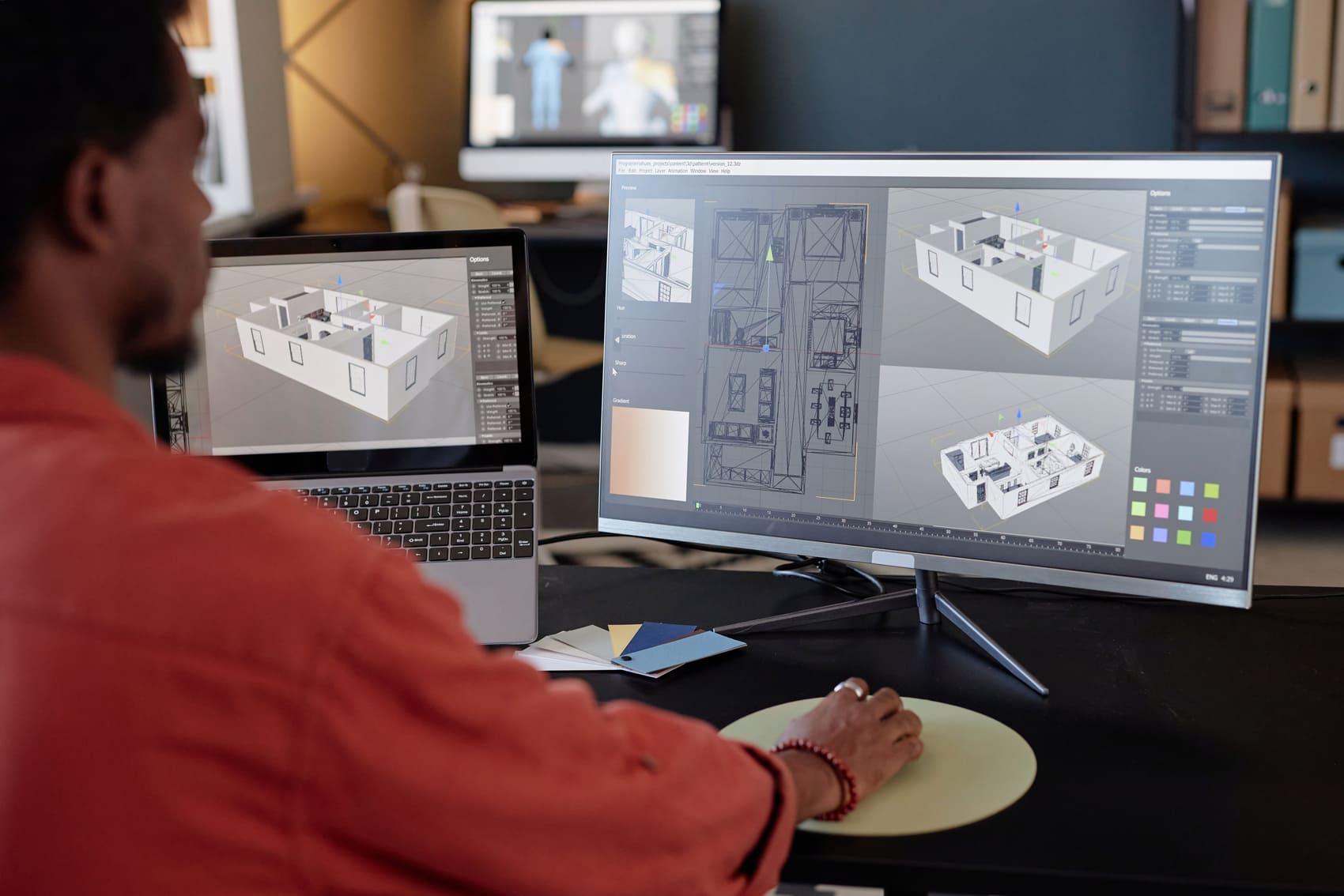
In this transformative era, digital tools have emerged as a powerful catalyst, fundamentally altering how we conceive, design, and manage our urban environments. They move beyond simple mapping, offering dynamic, data-rich platforms that enable planners, architects, and policymakers to visualize complex systems with unprecedented clarity and precision. This shift empowers a more informed and adaptive planning process.
The true power lies in the ability to move beyond abstract concepts to tangible, interactive visualizations. Imagine walking through a proposed development before ground is ever broken, understanding the flow of traffic, the impact of new structures on sunlight, or the integration of green spaces. This level of immersion fosters a deeper comprehension of potential outcomes, allowing for proactive adjustments and optimization at every stage of development.
This advanced visualization capability is not merely a technical upgrade; it's a paradigm shift in engagement. It allows diverse stakeholders, from urban planners and developers to local residents and community groups, to participate more meaningfully in the design process. When everyone can clearly see and interact with future scenarios, discussions become more productive, leading to designs that genuinely reflect collective aspirations and needs.
At ArchScope, we recognize the profound significance of these advancements. Our commitment is to harness the cutting-edge of digital technology to provide comprehensive solutions that empower urban visionaries. We believe that by providing superior tools for visualization and analysis, we contribute directly to the creation of more functional, aesthetically pleasing, and environmentally responsible urban spaces that serve their inhabitants effectively.
The journey from conceptual idea to a thriving urban reality is complex. Digital visualization tools bridge this gap by offering a transparent, iterative process that reduces uncertainty and enhances decision-making. It transforms urban planning from a reactive exercise into a proactive, data-informed discipline, capable of anticipating future needs and designing cities that are truly future-ready and adaptable to change.
Urban Design & Master Planning: Digital tools facilitate the creation of cohesive, livable urban spaces by simulating various design options. Advantages: improved public engagement, early identification of potential conflicts. Limitations: initial data collection and integration can be resource-intensive.
Infrastructure Development: Optimizing critical utility networks, transportation routes, and public services through detailed spatial analysis. Advantages: enhanced resource allocation, reduced operational complexities. Limitations: requires robust data management and interoperability across different systems.
Environmental Impact Assessment: Simulating the ecological effects of new developments, from air quality to water runoff and biodiversity. Advantages: informed decision-making, effective mitigation strategies. Limitations: complex modeling demands specialized expertise and significant computational resources.
Experts widely agree that digital visualization is no longer a luxury but a fundamental necessity for addressing the multifaceted challenges of contemporary urbanism. The consensus points towards a future where integrated digital platforms become the backbone of all major planning initiatives, enabling a holistic view of urban systems and fostering interdisciplinary collaboration among diverse professionals involved in city building.
However, the journey is not without its debates. A significant point of discussion revolves around data accuracy and accessibility. While digital tools thrive on data, ensuring the integrity, timeliness, and availability of diverse datasets — from demographic trends to environmental metrics — remains a considerable hurdle. The challenge lies in creating seamless integration frameworks that can synthesize information from disparate sources reliably.
Another compelling argument centers on the balance between algorithmic precision and human intuition. While digital models can simulate countless scenarios with incredible detail, the nuanced understanding of social dynamics, cultural heritage, and community aspirations often requires experienced human judgment. Striking the right balance ensures that technology serves as an enhancer, not a replacement, for thoughtful planning.
Ethical considerations also play a crucial role in the discourse. Concerns about data privacy, the potential for algorithmic bias in urban development decisions, and ensuring equitable access to these powerful tools are paramount. Responsible implementation demands a strong focus on transparency, accountability, and inclusive governance frameworks to prevent unintended consequences and promote fair outcomes for all citizens.
Finally, the investment required in advanced technology and ongoing professional training is a frequent topic. While the long-term value in terms of efficiency and improved outcomes is clear, the initial expenditure for sophisticated software, hardware, and upskilling personnel can be substantial. Organizations like ArchScope are committed to demonstrating the compelling long-term benefits that justify this strategic commitment to digital transformation.
The evolution of digital tools for urban visualization marks a profound shift in how we approach the design and management of our cities. It offers an unparalleled capacity to explore, evaluate, and refine urban concepts, moving us closer to creating environments that are both highly functional and deeply resonant with human experience. This technological advancement is a cornerstone for future urban development.
As we look ahead, the continuous innovation in this field will be crucial. Collaborative efforts between technology providers, urban planners, government bodies, and communities will unlock even greater potential. The future of urban planning is intrinsically linked to our ability to leverage these powerful digital instruments effectively and responsibly, fostering an era of smarter, more responsive urban growth.
Ultimately, by embracing these advanced visualization capabilities, we are not just building structures; we are crafting living, breathing urban ecosystems. These tools empower us to design for resilience, sustainability, and enhanced quality of life, ensuring that the cities of tomorrow are vibrant, adaptable, and truly reflective of their inhabitants' needs and aspirations. The possibilities are vast and inspiring.
SketchUp is a registered trademark of its respective owners.
ArchScope is not affiliated with or endorsed by the SketchUp project.
References to SketchUp are provided for compatibility and informational purposes only.