Seamless SketchUp Integration for Smarter Urban Planning
Home > Blog > Seamless SketchUp Integration for Smarter Urban Planning

Modern urban environments are characterized by their intricate complexity and dynamic evolution, demanding sophisticated tools and methodologies for effective planning. As cities grow and adapt, planners face the monumental task of balancing economic vitality, social equity, and environmental sustainability. Traditional planning approaches, often reliant on two-dimensional representations, struggle to convey the full scope and impact of proposed developments, leading to potential misunderstandings and delays in project execution. The need for a more intuitive, three-dimensional understanding of urban spaces has never been more critical for informed decision-making.
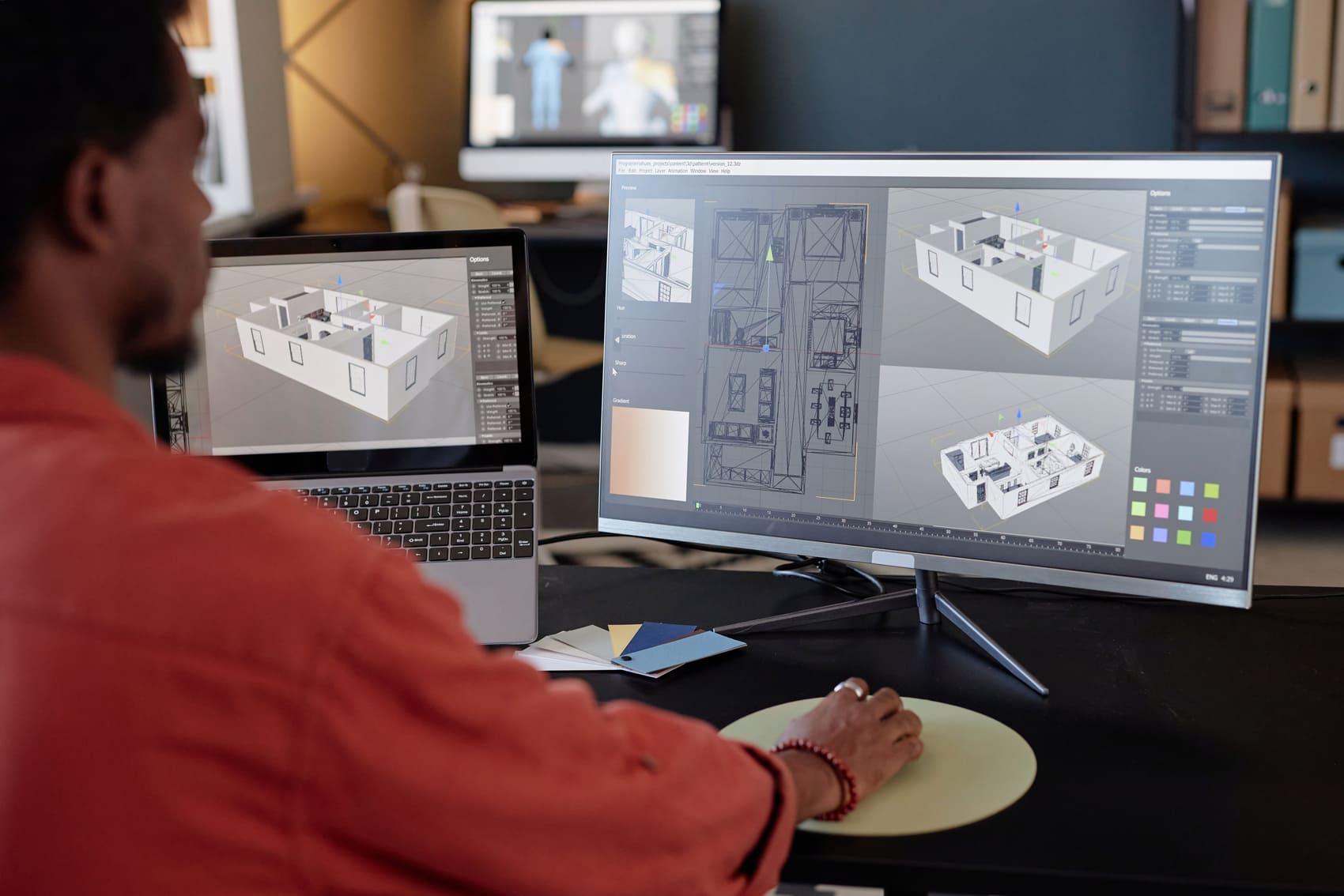
The advent of powerful 3D modeling software has revolutionized how professionals visualize and interact with design concepts. Among these tools, SketchUp stands out for its user-friendly interface and robust capabilities, making it accessible to a wide range of users, from architects to urban designers. Its ability to quickly generate detailed models allows for rapid prototyping and exploration of various design scenarios, fostering a more agile and responsive planning process. This visual clarity is instrumental in bridging the gap between technical designs and public perception, facilitating more meaningful engagement.
However, the true potential of SketchUp in urban planning is unlocked when it is seamlessly integrated into a broader digital ecosystem. Isolated modeling, while valuable, can limit collaboration and data exchange with other critical planning tools, such as Geographic Information Systems (GIS) or environmental analysis software. The synergy created by combining SketchUp's intuitive modeling with external data sources and analytical platforms elevates its utility from a design tool to a comprehensive planning instrument, enabling a holistic view of urban challenges and opportunities.
This integration allows planners to move beyond static visualizations, incorporating real-world data like terrain, existing infrastructure, and demographic information directly into their 3D models. Such an enriched environment provides a contextually accurate canvas for design, allowing for the immediate assessment of a project's fit within its surroundings. It supports evidence-based planning by making it easier to identify potential conflicts, optimize resource allocation, and evaluate the long-term implications of development choices before ground is even broken. The ability to iterate rapidly on design concepts within a data-rich environment is a game-changer.
The vision of smarter urban planning hinges on the ability to leverage technology to create more livable, resilient, and adaptable cities. Integrated 3D modeling workflows are at the forefront of this transformation, offering a pathway to overcome the limitations of conventional methods. By fostering a deeper understanding of spatial relationships and facilitating collaborative design, these tools empower planners to craft solutions that are not only aesthetically pleasing but also functionally robust and environmentally sound. This proactive approach helps in anticipating future needs and challenges, ensuring sustainable urban growth.
For organizations like ArchScope, championing such integrated solutions is central to advancing the field of urban development. We recognize that empowering planners with tools that enhance visualization, analysis, and communication is key to building better communities. The commitment to developing and supporting platforms that facilitate seamless data flow and collaborative design is a testament to the belief that technology can be a powerful catalyst for positive change in our urban landscapes. This strategic focus ensures that planning efforts are both efficient and impactful.
Experts in urban planning consistently highlight the transformative potential of integrated 3D modeling, particularly when discussing stakeholder engagement. A prominent view suggests that traditional blueprints often fail to convey the spatial experience of a proposed development, leading to disconnects between planners, developers, and the public. Integrated SketchUp models, by contrast, offer an intuitive, walk-through perspective that demystifies complex designs, fostering more constructive dialogue and reducing opposition rooted in misunderstanding. This clarity is invaluable in navigating the often-contentious process of urban change.
However, the path to widespread adoption is not without its debates. Some practitioners express concerns about the learning curve associated with integrating multiple software platforms, emphasizing the need for robust training and standardized workflows. There is a valid argument that while SketchUp is user-friendly, its integration with advanced GIS or environmental simulation tools requires a certain level of technical proficiency. Addressing this requires not just software solutions but also educational initiatives that empower urban planning professionals to fully leverage these powerful combinations.
Another area of discussion revolves around data interoperability. While significant strides have been made, the seamless exchange of data between different software packages remains a critical challenge. Experts point out that variations in data formats and semantic interpretations can create bottlenecks, hindering the efficiency of integrated workflows. Overcoming these hurdles requires industry-wide collaboration on open standards and robust API development, ensuring that information flows freely and accurately across the entire planning ecosystem, maximizing the utility of each tool.
Furthermore, the analytical capabilities of integrated systems are a key focus. While SketchUp excels at visualization, its true strength in planning comes from its ability to serve as a visual front-end for complex analyses. For instance, linking a SketchUp model to a sunlight analysis tool can immediately show shading impacts, or connecting it to a pedestrian flow simulation can inform design adjustments. This integration allows for rapid feedback loops, enabling designers to make data-driven decisions that optimize urban form and function, moving beyond purely aesthetic considerations to truly performative design.
The consensus among forward-thinking urbanists is that integrated 3D modeling is not merely an enhancement but an essential evolution in planning methodology. It shifts the paradigm from reactive problem-solving to proactive, holistic design, allowing for a more nuanced understanding of urban systems. While challenges in implementation and data management persist, the overarching benefits in terms of improved decision-making, enhanced collaboration, and greater public understanding firmly establish these integrated workflows as foundational for the future of urban development.
The journey towards smarter urban planning is an ongoing evolution, and integrated 3D modeling, particularly through platforms like SketchUp, represents a significant leap forward. By fostering a comprehensive understanding of spatial relationships and enabling dynamic interaction with design concepts, these tools empower planners to craft resilient and thriving urban environments. The ability to visualize, analyze, and communicate complex proposals with unprecedented clarity ensures that development decisions are well-informed and reflective of community aspirations.
Embracing these advanced workflows is not just about adopting new software; it is about cultivating a culture of innovation and collaboration within the urban planning discipline. The benefits extend beyond the drawing board, influencing public engagement, policy formulation, and the long-term sustainability of our cities. As urban areas continue to expand and face new challenges, the strategic integration of powerful modeling tools will be indispensable for creating spaces that truly enhance quality of life for all residents.
SketchUp is a registered trademark of its respective owners.
ArchScope is not affiliated with or endorsed by the SketchUp project.
References to SketchUp are provided for compatibility and informational purposes only.


Paul Martinez
This article really highlights the practical advantages of using 3D modeling in urban planning. I particularly appreciate the emphasis on community engagement – visualizing projects in 3D makes a huge difference for public understanding.
Savannah Moore
While the benefits are clear, the article touches on the challenge of data interoperability. I've personally experienced how frustrating it can be when different software packages don't 'talk' to each other smoothly. It's a critical area for improvement.
Brock Richardson
I agree with the point on data interoperability. However, the potential for rapid feedback loops and data-driven decisions mentioned in the analytical section is incredibly compelling. It suggests a future where planning is far more agile and responsive.