Transforming 3D Models into Clear Spatial Insights
Home > Blog > Transforming 3D Models into Clear Spatial Insights

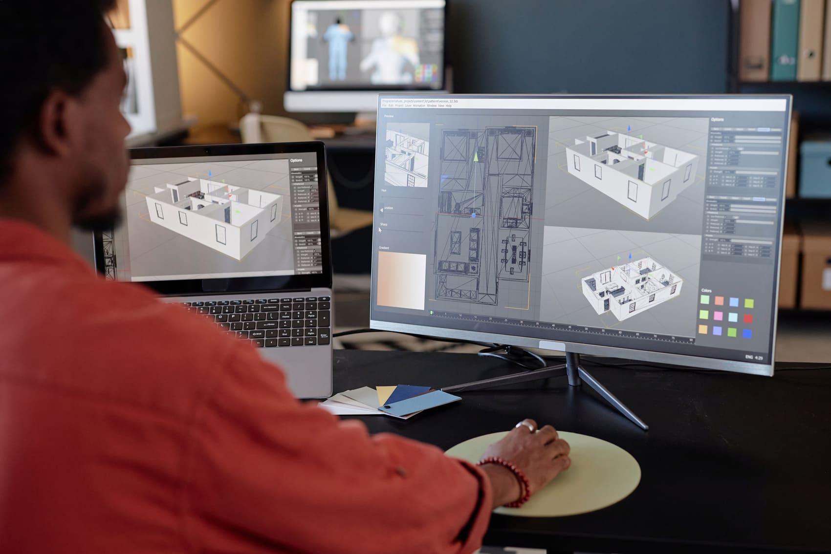
The digital realm is rich with intricate 3D models, spanning architectural designs, urban landscapes, and industrial components. While visually impressive, these models often exist as raw geometric data. Their true potential lies beyond static visualization, offering profound insights into spatial relationships. The core challenge is to evolve from simple representation to dynamic, analytical comprehension.
Across numerous sectors, the volume and complexity of 3D data can be daunting. Professionals like architects, urban planners, and engineers encounter models that, without expert interpretation, remain inert. Extracting meaningful information—such as optimal light paths or environmental impacts—demands a specialized approach. This transforms raw data into clear, actionable spatial intelligence, crucial for informed decision-making.
The journey from a basic 3D model to comprehensive spatial insight involves sophisticated processes. It commences with precise data acquisition and structuring, followed by advanced analytical techniques. These methods identify patterns, measure dimensions, and simulate scenarios. This process isn't just about viewing; it's about understanding inherent properties. This deep comprehension empowers stakeholders to make strategic choices.
For organizations like ArchScope, the primary focus is bridging this critical gap. We understand that rapidly converting complex 3D geometries into understandable spatial narratives is a significant advantage. Whether optimizing building performance or planning new facility layouts, precise spatial insights drive efficiency. This capability moves beyond simple rendering, delving into the essence of spatial relationships.
The importance of this transformation cannot be overstated. It enables a proactive stance in design and planning. Instead of uncovering issues late, potential challenges can be identified early. This foresight minimizes costly revisions and accelerates project timelines, fostering a collaborative, data-driven setting. It reshapes how we interact with our environments.
Urban Planning: Visualizes developments, analyzes traffic, assesses shadow impacts. Benefits: sustainable growth. Limitation: complex data integration.
Architecture & Construction: Validates designs, detects clashes, simulates performance. Benefits: reduced errors. Limitation: high-fidelity models needed.
Industrial Design: Optimizes assembly lines, performs ergonomics, prototypes virtually. Benefits: faster iteration. Limitation: substantial computational demands.
The path from raw 3D model to insightful spatial data involves methodological complexities and ongoing expert discussions. A central debate concerns balancing automated analysis with human interpretation. While algorithms swiftly process vast datasets, identifying geometric relationships, contextual understanding often requires human expertise to grasp implications for design or user experience.
Experts frequently point to data heterogeneity. 3D models originate from diverse sources—CAD, LiDAR, photogrammetry—each with unique formats. Harmonizing these disparate datasets into a unified model for analysis is substantial. Discrepancies in data quality emphasize the need for robust data preprocessing and validation.
Another area of focus is standardization of spatial metrics and semantic enrichment. For insights to be actionable, they must be clearly defined and consistently measured. What constitutes "optimal light exposure" varies. Developing universal ontologies for spatial attributes is an evolving field, vital for making insights comparable and widely understood.
AI and machine learning are rapidly advancing this domain, offering new avenues for automated pattern recognition and predictive modeling. However, concerns persist regarding the "black box" nature of some AI models, where reasoning may lack transparency. This highlights the need for explainable AI in critical applications, especially those affecting public safety.
The evolution of 3D models into clear spatial insights accelerates. We anticipate advanced real-time analysis and predictive modeling, integrated into intuitive, interactive environments. This empowers broader audiences to explore spatial data, fostering greater understanding and collaboration across all sectors.
ArchScope is dedicated to refining these methodologies. Our commitment ensures accurate, accessible insights, maximizing their potential. We empower organizations to translate complex 3D data into strategic advantages, positioning ArchScope at the forefront of spatial intelligence innovation.
SketchUp is a registered trademark of its respective owners.
ArchScope is not affiliated with or endorsed by the SketchUp project.
References to SketchUp are provided for compatibility and informational purposes only.